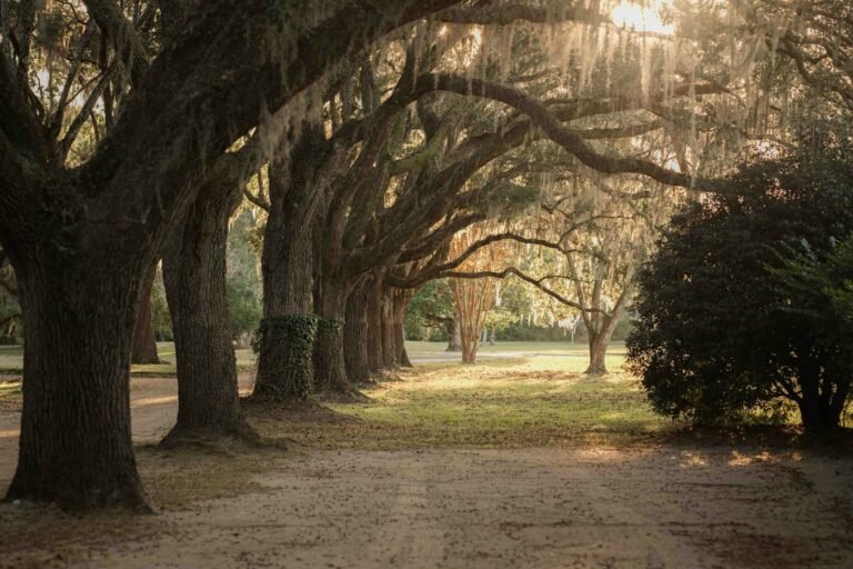
Foothills Trail is a long-distance hiking trail in Pickens, Pickens County, in South Carolina's Upstate. Admission: trailhead fees. Hours: not published on the official site. Facts read from the official site on October 25, 2026.
- HoursNot publishedofficial hours below
- AdmissionTrailhead fees
- WherePickensPickens County, Upstate
- Length77 milesper the official site
About Foothills Trail
The Foothills Trail is a 77-mile National Recreation Trail through Upstate South Carolina and western North Carolina, maintained with the Foothills Trail Conservancy. Through-hikers take about 5-10 days; many trailheads allow day hikes to waterfalls.
- 77 miles long; National Recreation Trail
- Major trailheads: Table Rock State Park, US 178, SC 130, SC 107, Oconee State Park
- Passes Sassafras Mountain and Upper Whitewater Falls areas
- Designated campsites; no camping inside Oconee and Table Rock State Parks
Size and length: 77 miles; natural-surface hiking trail
Plan It In Three Lines
Getting In
Admission: trailhead fees. Parking: Pay parking and entrance fees at the state parks and the Whitewater Falls USFS lot before hiking..
Not publishedBring The Dog?
Leashed, non-aggressive dogs are welcome on the
Full rule belowMake It A Day
Table Rock State Park is about 1 miles away (straight line).
6 places within 30 miles
Foothills Trail Hours
- Hours are not published on the official site; check before you go.
Admission And Parking
- Parking/entrance fees required at Oconee and Table Rock State Parks and the U.S. Forest Service lot at Whitewater Falls
Parking: Pay parking and entrance fees at the state parks and the Whitewater Falls USFS lot before hiking.
Directions And Contact
- Address: Table Rock Access, Table Rock State Park, Pickens, SC
- Map point: 35.03205,-82.70040, from OpenStreetMap. Directions in Google Maps
- Official site: foothillstrail.org
Dogs And Accessibility
- Dogs: Leashed, non-aggressive dogs are welcome on the trail.
- Accessibility: not published on the pages we read.
Near Foothills Trail
- 1Table Rock State ParkState Parkunder 1 mi
- 2Caesars Head State ParkState Parkabout 6 mi
- 3Jones Gap State ParkState Parkabout 9 mi
- 4Keowee-Toxaway State ParkState Parkabout 13 mi
- 5Devils Fork State ParkState Parkabout 15 mi
- 6Paris Mountain State ParkState Parkabout 19 mi
Straight-line distances between map points, not driving miles. Dots sit in their true compass direction; distance is stretched near the middle so close neighbors stay readable.
Coming Up Near Foothills Trail
- Through Nov 14Denver Downs Fall Festival (corn maze, pumpkin patch, 35+ activities)On nowAnderson · about 35 mi
- Through Oct 31Boo in the Zoo (Greenville Zoo)On nowGreenville · about 23 mi
- Oct 31Furman football vs. Western CarolinaGreenville · about 23 mi
- Oct 31Swamp Rabbits Halloween game (Greenville vs. Florida)Greenville · about 23 mi
- Nov 2Clemson men's basketball vs. Stetson (home opener)Clemson · about 25 mi
- Nov 7Colorito: Annual Art Auction (Anderson Arts Center)Anderson · about 35 mi
70 more on the full events calendar.
Events within 40 miles, measured in a straight line to the centre of the event's town. Dates come from our checked events list; confirm with the organizer.
FAQ
How much does Foothills Trail cost?
Trailhead fees. Parking/entrance fees required at Oconee and Table Rock State Parks and the U.S. Forest Service lot at Whitewater Falls
What are the hours at Foothills Trail?
Hours are not published on the official site..
Can I bring a dog to Foothills Trail?
Leashed, non-aggressive dogs are welcome on the trail.
What We Could Not Verify
- Surface not explicitly stated
- Trail conditions page showed no current alerts text when read
- Hours not read/not published
- Hours and prices change; check the official site the day you go.
Sources
- Foothills Trail: admission (read 2026-10-25)
- Foothills Trail: official site (read 2026-10-25)
- OpenStreetMap (map point)
Last checked October 25, 2026 by the It’s South Carolina editor. Spot something out of date? Tell us.
Cite this page: It's South Carolina, “Foothills Trail”, itssouthcarolina.com/places-to-go-in-south-carolina/foothills-trail/ (updated ). By the It's South Carolina editorial team. Free to quote with attribution and a link to this page; data and tables are licensed CC BY 4.0.